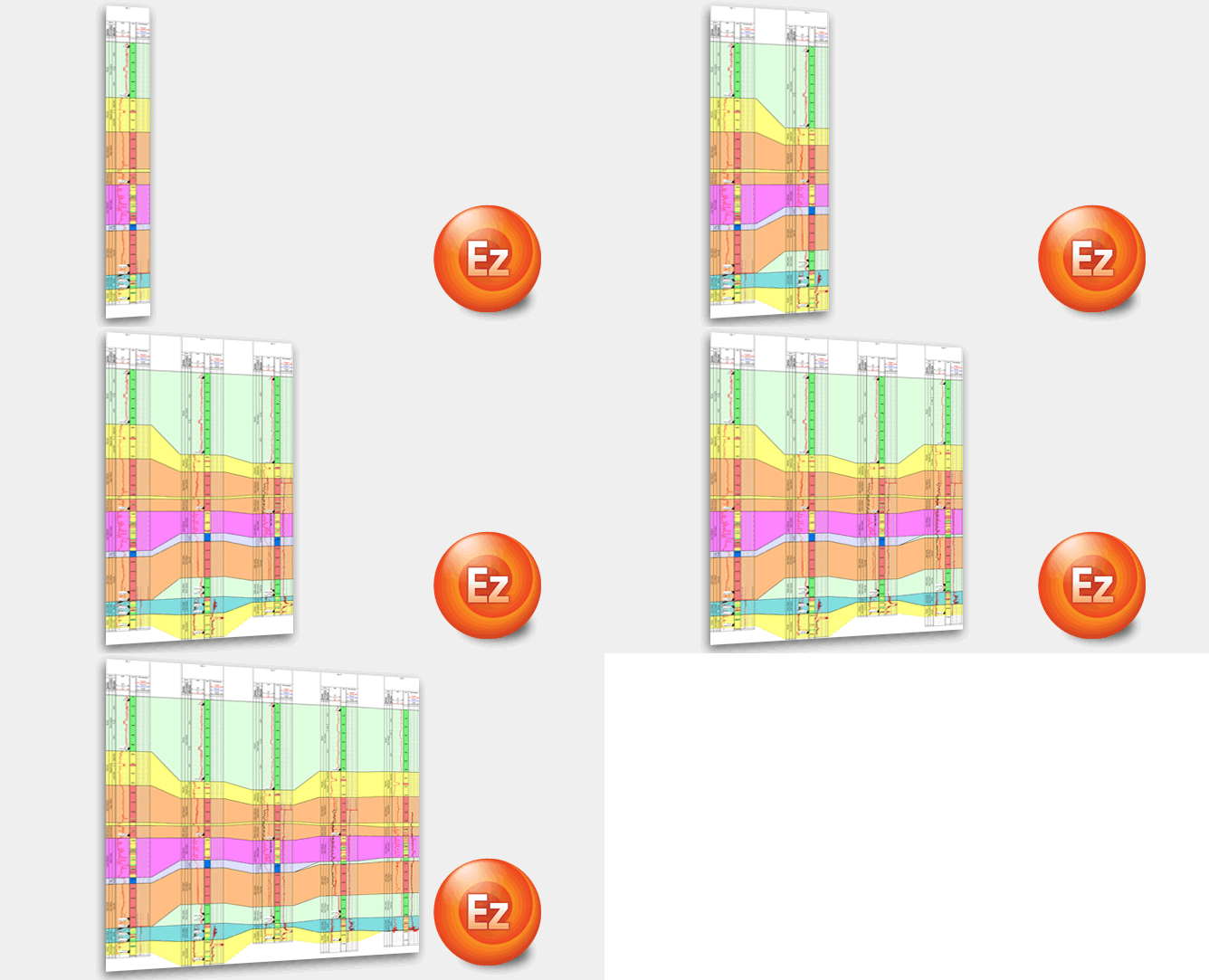
Quickly create a multi-well chart from existing single well charts or legacy image logs of wells.
This will enable for example, the rapid creation of a plan versus actual offset well chart for use at the wellsite and the office with a few clicks of the mouse.
Formation tops and markers can be added and automatically correlated throughout the chart. To further enhance the relationship between the wells, standard patterns and fills can be defined for the tops and markers within the geological basin.
To enquire about or request a demonstration of EZ-Correlate, click the ‘More Information’ button below.

